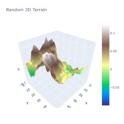
3D Terrain in Python
Posted by Jack McKew on Fri 24 January 2020 in Python • Tagged with python, visualisation, generative • 21 min read

Generating & Visualising 3D Terrains in Python
Today, let's put together a 3D visualisation of randomly generated 'terrain' with Python. Data visualisation is an absolutely key skill in any developers pocket, as communicating both data, analysis and more is thoroughly simplified through the use of graphs. While a picture tells a …
Continue reading